RALUMO · RaiNews
Severe weather in Italy: rain and red alert in Sardinia with strong winds and rough seas
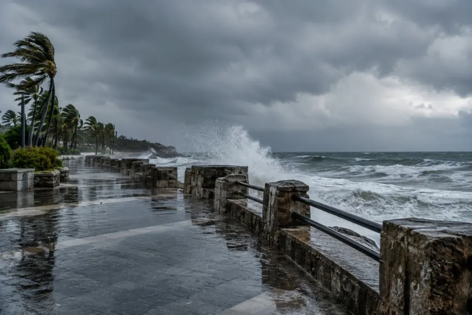
An atmospheric disturbance affects various areas of Italy starting from the Major Islands and Piedmont, bringing rain, wind gusts, and very rough seas. A red alert is issued in Sardinia, while rainfall will progressively affect other peninsular regions until Saturday, before an overall improvement expected for Sunday.
Tools
A new disturbance is affecting the Italian Peninsula with precipitation, strengthening winds, and increasing wave motion. As reported by the news outlet RaiNews, the wave of severe weather starts from Piedmont and the Major Islands, later extending to the rest of the national territory by Saturday. The situation also sees the proclamation of a red alert for Sardinia, where rainfall hits especially the eastern sector.
During Thursday, scattered precipitation also falls on central-eastern Sicily, while weak or locally moderate phenomena affect Piedmont and Valle d'Aosta. Winds blow from southern quadrants, reaching gusts between forty and fifty kilometers per hour over maritime channels and the Ligurian Sea, causing very rough sea conditions. On the western Alpine arc, snowfall is also expected above fourteen hundred meters of altitude.
Weather instability will also continue on Friday, with scattered precipitation expected over Liguria, Piedmont, and Ionian Sicily, along with isolated light showers along the central-southern Tyrrhenian belt. For Saturday, showers are expected over Tuscany, light showers over Emilia-Romagna, Umbria, and the inland of Lazio, in addition to residual phenomena over Campania and Calabria, against clearings on the Major Islands.
The weather situation will tend to change favorably starting from Sunday, when an overall improvement is expected with wide sunny clearings across the entire Peninsula and stable temperatures within autumn averages.
Sources and references
RaiNews ↗ · Source date